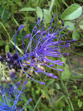
What with one thing another, I haven't arranged for any paths to be cleared this season - sorry folks. I thought I'd list the changes, on one page, that I know about and consolidate. So if you've recently purchased a copy of my book, you need to go through it and make the necessary amendments. I have only a few copies left from this print run so a re-write is looming for this winter. I just hope I can afford to get the book printed again; last time it cost over E2,000. If I can't, there'll be no more Skopelos Trails.
page 17 - sketch map. Don't try and use the track from pic.3 to Lalaria spring. It's only passable from pic. 3 up to the road. If you want to explore to the spring, you can get to it from the other end near pic.4.
Walk 3 Agnondas page 24. Don't take the track behind all the rubbish trucks etc. Continue on the road until pic.14.
Walk 5 page 32. There is an illegal fence just down from pic.30. I've been trying to get this resolved with the local government but am running of power. A local land owner is playing God.
Walk 7 page 35. The triangular stone has gone and the track widened until where it used to be.
Walk 9. Lots of illegal fences as more and more apartments have been built on the Stafilos road side of Kokala hill. Pic.47. The path is now a road.
Walk 14 and 15. When you get as far as the junction before Mon. Barbara, don't try and find the track up and over the hill. Continue on towards Mon. Prodromou and take the dirt road around the hill.
Walk 16 page 56. The area of Cypravrissi has totally been destroyed with a buldozer.
Walk 22 image 87. The track that leads down and traverses the hill is closed. I hope to get it open at some stage. I've made a start from the other end but lack help.
Walk 26image 87. As above.
Walk 27. This walk is closed.
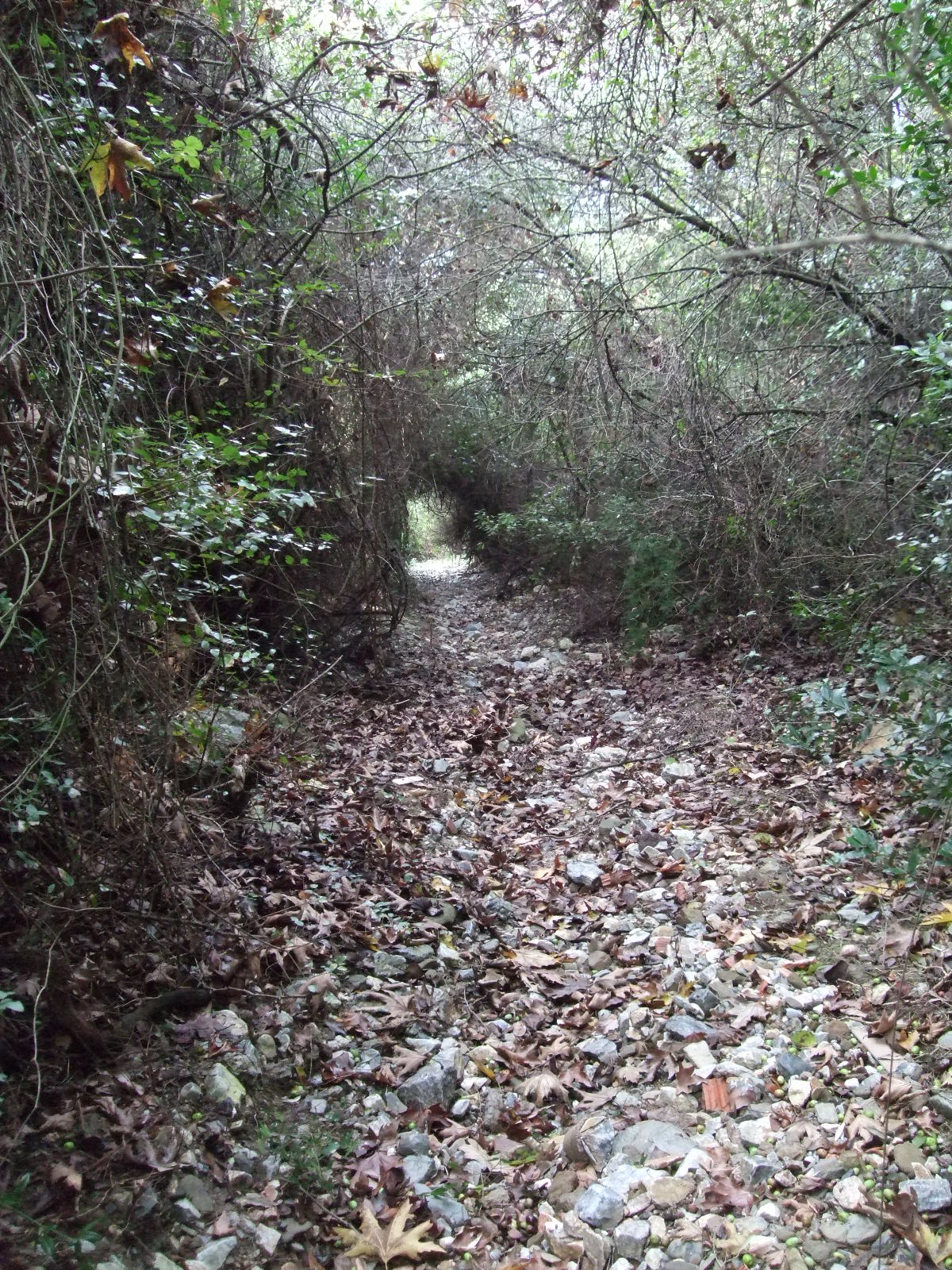
Walk 29. The track from image 100 onwards has totally been destroyed by buldozer. Heartbreaking.


 All the good intentions went out the window and I have only been path-clearing twice in recent months. I dare not hope that I get a place in the local council (elections will be held 7 November) when I would be able to get the paths cleared, marked and protected. This is the reason I am standing. It should be the responsibiity of the local council to maintain footpaths and trails, not a private individual.